 |
| the right atlas but the wrong map and where we want to get to is almost in the gutter, as usual |
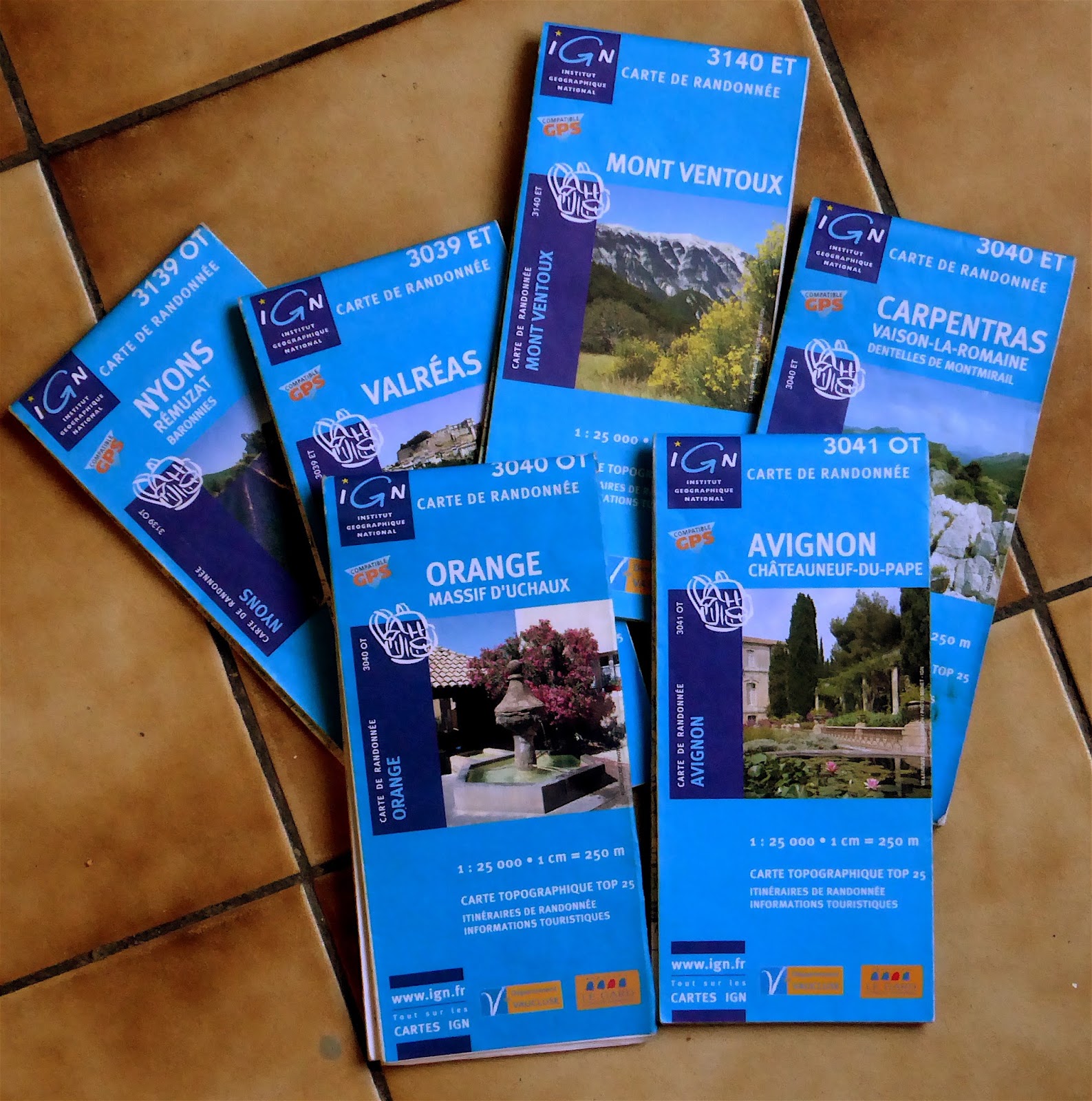
Our bible on the road when driving on the right is The Michelin Atlas of a fairly recent year and we faint dead away when we discover friends and associates who venture forth with nothing more than TomTom (or whatever, other sat navs are available and are probably just as likely to lead you up the garden path) and a hopeless looking out for the misleading signposts that come as such a shock to those of us used to faultless UK road labelling. But good though The Michelin is for getting from A to B via C and D, as well as giving the inquisitive a notional perspective of what else there is to be seen in the vicinity, the nature and classification of the road, alternatives to, distances, whether it might be scenic (the famous green pencil, that often just means pleasantly wooded)… it has some limitations. It is after all a small scale affair even if the atlas itself does run to well over 300 pages.
 |
the right maps
|
So when we set off to visit the banks and braes associated with the less frequented levées of the Rhône you'd have thought we'd have taken a bit more than Michelin. And we did: all the local mapping, we thought, but not amongst them, IGN map Orange, the only 1:25000 IGN map missing from the in-car set we carry for those off-piste excursions we are fond of. The lesson is, if you are in this neck of the woods and want to explore the majestic route of the mighty Rhône and its appurtenances (barrages, levées, crossings, river junctions etc) don't leave home without the IGN bleu 25 maps Avignon and Orange.
 |
| the right location |
Here we have state-of-the-art trains passing by at speeds approaching 190mph, (hidden to some extent by trees but one can get quite close at certain points) the chance of river traffic (barges of rather majestic proportions although none seen on this occasion), distant hill top chateaux, trees leafing up with many birds competing for attention, including nightingales, blossom — and big big skies. No-one in their right mind comes here, at least not unless you have a sluice to open or fancy a quiet game of boules under a TGV bridge (as observed last time we made this weird excursion).
SatNav might just bring you to such a place, its true, but it would have been a mistake. A map's the thing and as you can see, the right map is even more the thing.
